The Cwmanne Tavern
Introduction
The photograph on this page of The Cwmanne Tavern by Dan Gregory as part of the Geograph project.
The Geograph project started in 2005 with the aim of publishing, organising and preserving representative images for every square kilometre of Great Britain, Ireland and the Isle of Man.

There are currently over 7.5m images from over 14,400 individuals and you can help contribute to the project by visiting https://www.geograph.org.uk
The Cwmanne Tavern
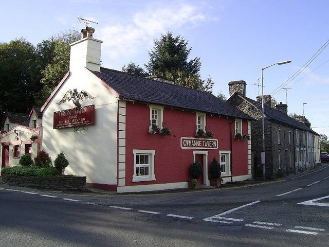
Image: © Dan Gregory Taken: 3 Oct 2006
This 18th Century inn stands on the junction of the A482 to Pumsaint and the A485 to Llanybydder and is popular with university students and locals alike.
Images are licensed for reuse under creativecommons.org/licenses/by-sa/2.0
Image Location
Latitude
52.106004
Longitude
-4.070577