The Hooks, Henfield
Introduction
The photograph on this page of The Hooks, Henfield by Simon Carey as part of the Geograph project.
The Geograph project started in 2005 with the aim of publishing, organising and preserving representative images for every square kilometre of Great Britain, Ireland and the Isle of Man.

There are currently over 7.5m images from over 14,400 individuals and you can help contribute to the project by visiting https://www.geograph.org.uk
The Hooks, Henfield
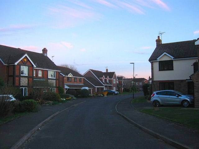
Image: © Simon Carey Taken: 25 Mar 2017
A cul de sac off Broomfield Road that was built in the late 1980s on what was originally known as Potwell Field or Meadow. Viewed at dusk.
Images are licensed for reuse under creativecommons.org/licenses/by-sa/2.0
Image Location
Latitude
50.929477
Longitude
-0.277308