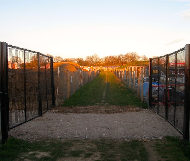
Public Footpath, Bishops Park Estate, Henfield
Introduction
The photograph on this page of Public Footpath, Bishops Park Estate, Henfield by Simon Carey as part of the Geograph project.
The Geograph project started in 2005 with the aim of publishing, organising and preserving representative images for every square kilometre of Great Britain, Ireland and the Isle of Man.
There are currently over 7.5m images from over 14,400 individuals and you can help contribute to the project by visiting https://www.geograph.org.uk

Image: © Simon Carey Taken: 25 Mar 2017
The path heads east from Stonepit Lane then turns south running parallel with the Downs Link to West End Lane. Looking at the plans the footpath is to remain following its current course through an open space that effectively splits the new development into two separate parts.

