The Royal Talbot, Lostwithiel
Introduction
The photograph on this page of The Royal Talbot, Lostwithiel by Christopher Hilton as part of the Geograph project.
The Geograph project started in 2005 with the aim of publishing, organising and preserving representative images for every square kilometre of Great Britain, Ireland and the Isle of Man.

There are currently over 7.5m images from over 14,400 individuals and you can help contribute to the project by visiting https://www.geograph.org.uk
The Royal Talbot, Lostwithiel
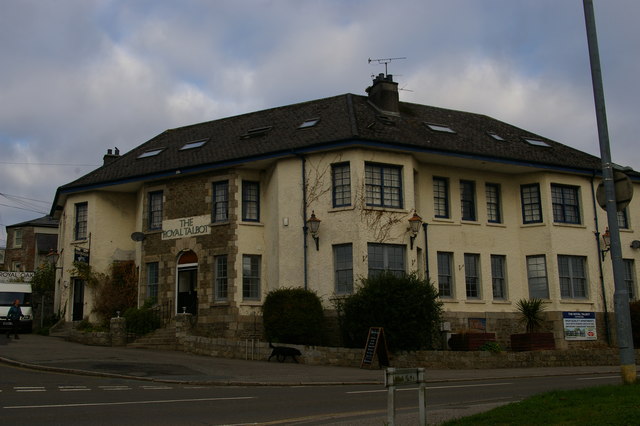
Image: © Christopher Hilton Taken: 29 Oct 2016
This inter-war pub on the main road is now converted into flats.
Images are licensed for reuse under creativecommons.org/licenses/by-sa/2.0
Image Location
Latitude
50.408112
Longitude
-4.670241