Oak Hill Road, Clifton (Brighouse)
Introduction
The photograph on this page of Oak Hill Road, Clifton (Brighouse) by Humphrey Bolton as part of the Geograph project.
The Geograph project started in 2005 with the aim of publishing, organising and preserving representative images for every square kilometre of Great Britain, Ireland and the Isle of Man.

There are currently over 7.5m images from over 14,400 individuals and you can help contribute to the project by visiting https://www.geograph.org.uk
Oak Hill Road, Clifton (Brighouse)
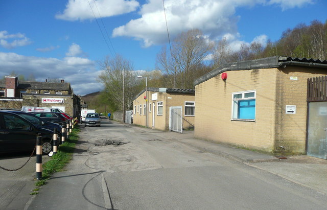
Image: © Humphrey Bolton Taken: 31 Mar 2017
This seems to have been a long yard in the late 19C, going past various industrial buildings and a few houses. It was not named on the 1:2500 maps until the 1933 edition.
Images are licensed for reuse under creativecommons.org/licenses/by-sa/2.0
Image Location
Latitude
53.702951
Longitude
-1.775021