House and car park on The Ridge
Introduction
The photograph on this page of House and car park on The Ridge by Patrick Roper as part of the Geograph project.
The Geograph project started in 2005 with the aim of publishing, organising and preserving representative images for every square kilometre of Great Britain, Ireland and the Isle of Man.

There are currently over 7.5m images from over 14,400 individuals and you can help contribute to the project by visiting https://www.geograph.org.uk
House and car park on The Ridge
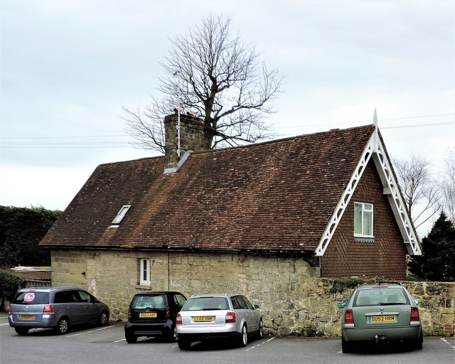
Image: © Patrick Roper Taken: 29 Mar 2017
The house is at the corner of The Ridge and Netherwood Drive and the car park is that of the Robert De Mortain pub once, apparently, the lodge for long demolished Netherwood House.
Images are licensed for reuse under creativecommons.org/licenses/by-sa/2.0
Image Location
Latitude
50.882647
Longitude
0.579956