Cwmcarn from above (2)
Introduction
The photograph on this page of Cwmcarn from above (2) by M J Roscoe as part of the Geograph project.
The Geograph project started in 2005 with the aim of publishing, organising and preserving representative images for every square kilometre of Great Britain, Ireland and the Isle of Man.

There are currently over 7.5m images from over 14,400 individuals and you can help contribute to the project by visiting https://www.geograph.org.uk
Cwmcarn from above (2)
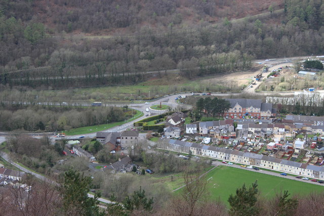
Image: © M J Roscoe Taken: 31 Mar 2017
Viewed from a high point on Cwmcarn Forest Drive, the long row of terraced houses next to the playing field is Feeder Row Image The Raven Walk runs alongside the playing field.
Images are licensed for reuse under creativecommons.org/licenses/by-sa/2.0
Image Location
Latitude
51.63209
Longitude
-3.128499