Ditch on the south side of Goostrey Lane
Introduction
The photograph on this page of Ditch on the south side of Goostrey Lane by Christine Johnstone as part of the Geograph project.
The Geograph project started in 2005 with the aim of publishing, organising and preserving representative images for every square kilometre of Great Britain, Ireland and the Isle of Man.

There are currently over 7.5m images from over 14,400 individuals and you can help contribute to the project by visiting https://www.geograph.org.uk
Ditch on the south side of Goostrey Lane
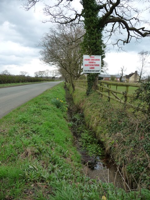
Image: © Christine Johnstone Taken: 30 Mar 2017
The placard reads 'Save prime Cheshire farm & horticultural land / let them eat sand". It refers to Sibelco UK Ltd's planning application to quarry sand at Rudheath Lodge Farm, on the north side of the land.
Images are licensed for reuse under creativecommons.org/licenses/by-sa/2.0
Image Location
Latitude
53.221163
Longitude
-2.370492