Fenced field boundary, Round House Farm
Introduction
The photograph on this page of Fenced field boundary, Round House Farm by Christine Johnstone as part of the Geograph project.
The Geograph project started in 2005 with the aim of publishing, organising and preserving representative images for every square kilometre of Great Britain, Ireland and the Isle of Man.

There are currently over 7.5m images from over 14,400 individuals and you can help contribute to the project by visiting https://www.geograph.org.uk
Fenced field boundary, Round House Farm
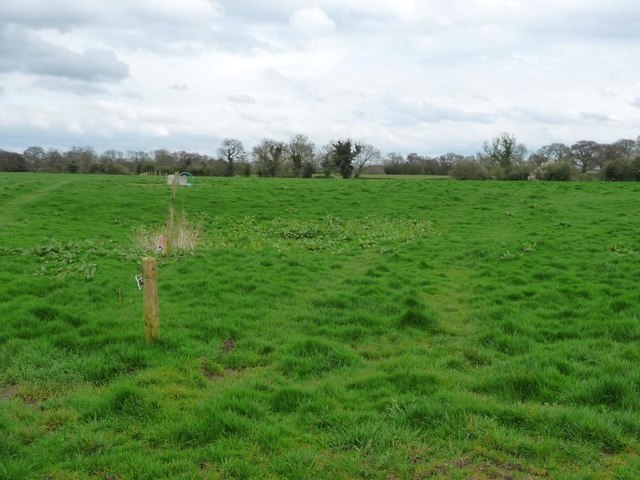
Image: © Christine Johnstone Taken: 30 Mar 2017
Running east from Byley Lane. Hedges are more common than fences in this part of Cheshire.
Images are licensed for reuse under creativecommons.org/licenses/by-sa/2.0
Image Location
Latitude
53.210371
Longitude
-2.399897