The Cleveland Way
Introduction
The photograph on this page of The Cleveland Way by Peter Church as part of the Geograph project.
The Geograph project started in 2005 with the aim of publishing, organising and preserving representative images for every square kilometre of Great Britain, Ireland and the Isle of Man.

There are currently over 7.5m images from over 14,400 individuals and you can help contribute to the project by visiting https://www.geograph.org.uk
The Cleveland Way
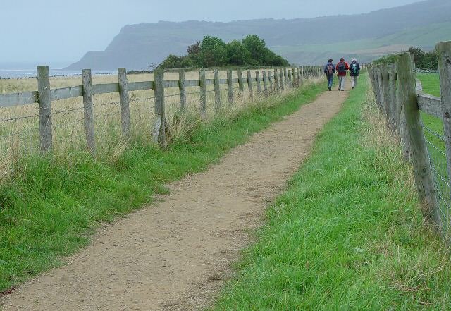
Image: © Peter Church Taken: 22 Aug 2007
The Cleveland Way is a long distance footpath which runs mainly around the coast from Filey to Saltburn (where it turns south). It passes above the bay on this well defined clifftop path.
Images are licensed for reuse under creativecommons.org/licenses/by-sa/2.0
Image Location


Leaflet Map data © OpenStreetMap
Latitude
54.426655
Longitude
-0.533193