RVP8, Holford gas storage site
Introduction
The photograph on this page of RVP8, Holford gas storage site by Christine Johnstone as part of the Geograph project.
The Geograph project started in 2005 with the aim of publishing, organising and preserving representative images for every square kilometre of Great Britain, Ireland and the Isle of Man.

There are currently over 7.5m images from over 14,400 individuals and you can help contribute to the project by visiting https://www.geograph.org.uk
RVP8, Holford gas storage site
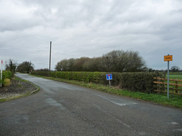
Image: © Christine Johnstone Taken: 30 Mar 2017
The emergency vehicle rendezvous point at the junction of Drakelow Lane and Yatehouse Lane.
Images are licensed for reuse under creativecommons.org/licenses/by-sa/2.0
Image Location
Latitude
53.225
Longitude
-2.432237