Ochil Pylons
Introduction
The photograph on this page of Ochil Pylons by Keith Proven as part of the Geograph project.
The Geograph project started in 2005 with the aim of publishing, organising and preserving representative images for every square kilometre of Great Britain, Ireland and the Isle of Man.

There are currently over 7.5m images from over 14,400 individuals and you can help contribute to the project by visiting https://www.geograph.org.uk
Ochil Pylons
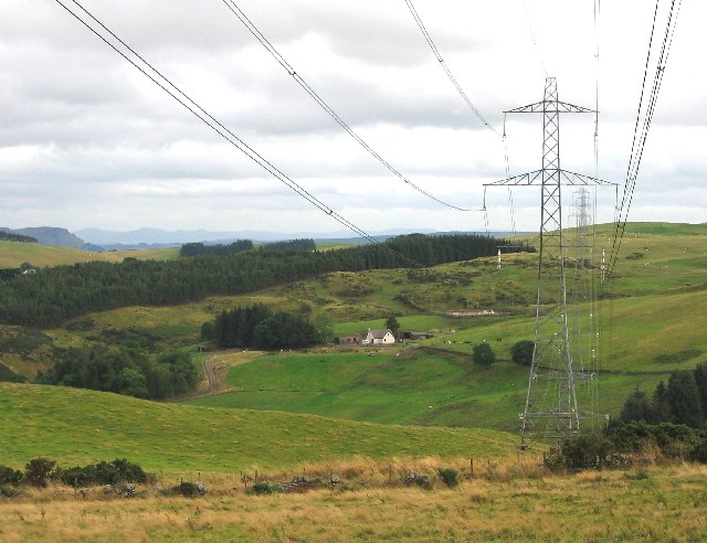
Image: © Keith Proven Taken: 14 Sep 2005
Following the pylons South at the Eastern edge of the Ochil Hills, above Glenfarg Reservoir
Images are licensed for reuse under creativecommons.org/licenses/by-sa/2.0
Image Location


Leaflet Map data © OpenStreetMap
Latitude
56.284971
Longitude
-3.431145