Lane from Lower Trevollard Crossroads
Introduction
The photograph on this page of Lane from Lower Trevollard Crossroads by Derek Harper as part of the Geograph project.
The Geograph project started in 2005 with the aim of publishing, organising and preserving representative images for every square kilometre of Great Britain, Ireland and the Isle of Man.

There are currently over 7.5m images from over 14,400 individuals and you can help contribute to the project by visiting https://www.geograph.org.uk
Lane from Lower Trevollard Crossroads
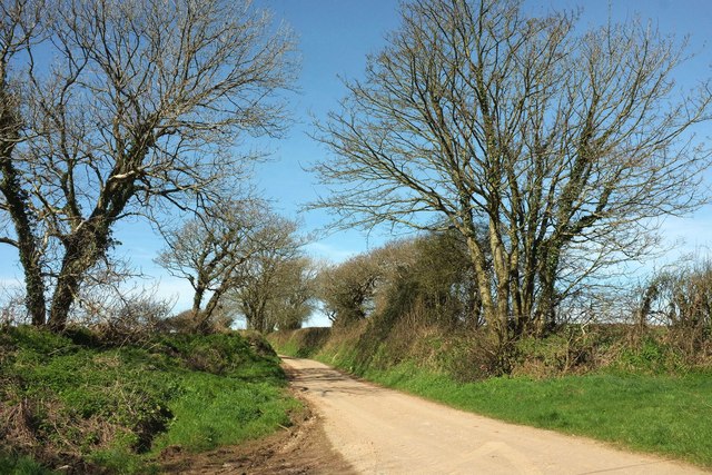
Image: © Derek Harper Taken: 25 Mar 2017
The lane leads along the crest of the Trebant Water valley and then drops to a farm called Trebantwater and Trebant Bridge.
Images are licensed for reuse under creativecommons.org/licenses/by-sa/2.0
Image Location
Latitude
50.379371
Longitude
-4.584788