Bench mark on Mold Alun School
Introduction
The photograph on this page of Bench mark on Mold Alun School by John S Turner as part of the Geograph project.
The Geograph project started in 2005 with the aim of publishing, organising and preserving representative images for every square kilometre of Great Britain, Ireland and the Isle of Man.

There are currently over 7.5m images from over 14,400 individuals and you can help contribute to the project by visiting https://www.geograph.org.uk
Bench mark on Mold Alun School
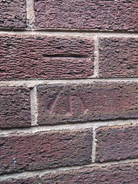
Image: © John S Turner Taken: 30 Mar 2017
This Ordnance Survey bench mark is near the south east corner of the 1930s building, which is part of the more modern Mold Alun High School.
Images are licensed for reuse under creativecommons.org/licenses/by-sa/2.0
Image Location
Latitude
53.160272
Longitude
-3.140961