From Upper Cwmbran Road to Ty Pwca Road, Cwmbran
Introduction
The photograph on this page of From Upper Cwmbran Road to Ty Pwca Road, Cwmbran by Jaggery as part of the Geograph project.
The Geograph project started in 2005 with the aim of publishing, organising and preserving representative images for every square kilometre of Great Britain, Ireland and the Isle of Man.

There are currently over 7.5m images from over 14,400 individuals and you can help contribute to the project by visiting https://www.geograph.org.uk
From Upper Cwmbran Road to Ty Pwca Road, Cwmbran
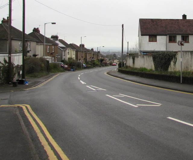
Image: © Jaggery Taken: 29 Mar 2017
The junction on the left is where Upper Cwmbran Road on this side becomes Ty Pwca Road ahead. The small brown sign on the right points towards the side road which leads to Pontnewydd Golf Club.
Images are licensed for reuse under creativecommons.org/licenses/by-sa/2.0
Image Location
Latitude
51.665821
Longitude
-3.039545