Stamford Arms, Bowdon
Introduction
The photograph on this page of Stamford Arms, Bowdon by Richard Sutcliffe as part of the Geograph project.
The Geograph project started in 2005 with the aim of publishing, organising and preserving representative images for every square kilometre of Great Britain, Ireland and the Isle of Man.

There are currently over 7.5m images from over 14,400 individuals and you can help contribute to the project by visiting https://www.geograph.org.uk
Stamford Arms, Bowdon
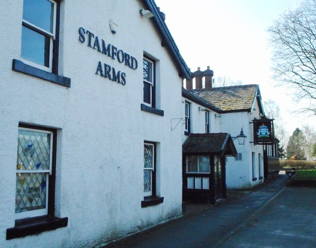
Image: © Richard Sutcliffe Taken: 27 Mar 2017
The Stamford Arms on The Firs in Bowdon is currently closed. A new development of the public house is proposed, but has been delayed due to planning issues. See [http://www.geograph.org.uk/photo/5328947] to see the pub sign.
Images are licensed for reuse under creativecommons.org/licenses/by-sa/2.0
Image Location
Latitude
53.378307
Longitude
-2.363889