Howes
Introduction
The photograph on this page of Howes by Richard Webb as part of the Geograph project.
The Geograph project started in 2005 with the aim of publishing, organising and preserving representative images for every square kilometre of Great Britain, Ireland and the Isle of Man.

There are currently over 7.5m images from over 14,400 individuals and you can help contribute to the project by visiting https://www.geograph.org.uk
Howes
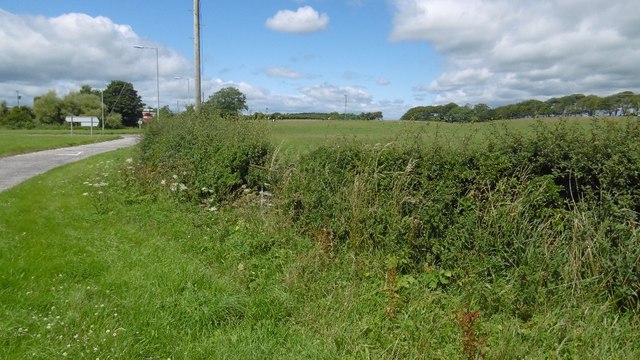
Image: © Richard Webb Taken: 27 Jul 2016
Fields west of Annan. About time we saw some more of this square other than the A75 through a windscreen, even though this too is a road shot.
Images are licensed for reuse under creativecommons.org/licenses/by-sa/2.0
Image Location


Leaflet Map data © OpenStreetMap
Latitude
54.991711
Longitude
-3.274238