Symondsbury, Shute's Lane
Introduction
The photograph on this page of Symondsbury, Shute's Lane by Mike Faherty as part of the Geograph project.
The Geograph project started in 2005 with the aim of publishing, organising and preserving representative images for every square kilometre of Great Britain, Ireland and the Isle of Man.

There are currently over 7.5m images from over 14,400 individuals and you can help contribute to the project by visiting https://www.geograph.org.uk
Symondsbury, Shute's Lane
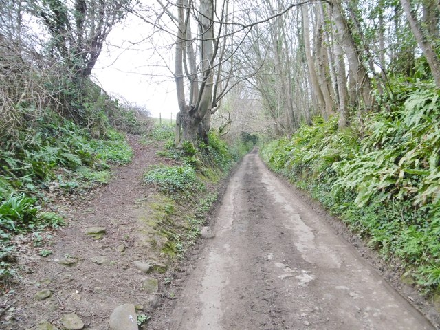
Image: © Mike Faherty Taken: 28 Mar 2017
Public route (as Dorset CC calls it), or other route with public access (OS's language). Lane from the village to Quarry Cross; higher up, it becomes a holloway, and there is a fallen rock. Springtime plants in bloom noticed: moschatel, dog's mercury, primrose, currant.
Images are licensed for reuse under creativecommons.org/licenses/by-sa/2.0
Image Location
Latitude
50.740499
Longitude
-2.790034