Symondsbury Primary School
Introduction
The photograph on this page of Symondsbury Primary School by Mike Faherty as part of the Geograph project.
The Geograph project started in 2005 with the aim of publishing, organising and preserving representative images for every square kilometre of Great Britain, Ireland and the Isle of Man.

There are currently over 7.5m images from over 14,400 individuals and you can help contribute to the project by visiting https://www.geograph.org.uk
Symondsbury Primary School
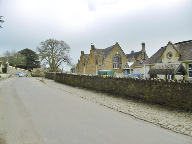
Image: © Mike Faherty Taken: 28 Mar 2017
Opposite the parish church. The main building is dated 1868, and bears a plaque "Raymond's Charity". Listed by Historic England, Grade II: http://www.imagesofengland.org.uk/Details/Default.aspx?id=401927&mode=adv http://www.symondsbury.dorset.sch.uk/School-History/
Images are licensed for reuse under creativecommons.org/licenses/by-sa/2.0
Image Location


Leaflet Map data © OpenStreetMap
Latitude
50.739076
Longitude
-2.787743