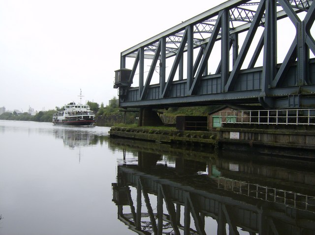
Barton swing aqueduct
Introduction
The photograph on this page of Barton swing aqueduct by Graham Horn as part of the Geograph project.
The Geograph project started in 2005 with the aim of publishing, organising and preserving representative images for every square kilometre of Great Britain, Ireland and the Isle of Man.
There are currently over 7.5m images from over 14,400 individuals and you can help contribute to the project by visiting https://www.geograph.org.uk

Image: © Graham Horn Taken: 19 Aug 2007
The vessel arrives, just two minutes after the road bridge had been swung. This is a regular passenger trip, every Sunday, along the ship canal, complete with commentary. The trip runs upstream one week and downstream the next. This downstream trip we would have expected to go follow the right hand channel (rule of the waterway keep right) but it went left, the far side from us. Oh well (or should that be Irwell?) Next picture Image]
Image Location


