Near Finvoy
Introduction
The photograph on this page of Near Finvoy by Robert Ashby as part of the Geograph project.
The Geograph project started in 2005 with the aim of publishing, organising and preserving representative images for every square kilometre of Great Britain, Ireland and the Isle of Man.

There are currently over 7.5m images from over 14,400 individuals and you can help contribute to the project by visiting https://www.geograph.org.uk
Near Finvoy
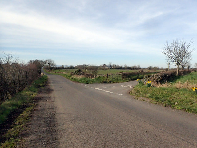
Image: © Robert Ashby Taken: 26 Mar 2017
Junction of Drumlee Road and Scroggy Road. I've often wondered about the origins of the name Scroggy and have come across Scroggy Roads and Scroggy Lanes in various locations. Possibly an anglicisation of an old Irish word which had local relevance. Maybe somebody can enlighten me.
Images are licensed for reuse under creativecommons.org/licenses/by-sa/2.0
Image Location
Latitude
55.022719
Longitude
-6.533692