Drumlee Road
Introduction
The photograph on this page of Drumlee Road by Robert Ashby as part of the Geograph project.
The Geograph project started in 2005 with the aim of publishing, organising and preserving representative images for every square kilometre of Great Britain, Ireland and the Isle of Man.

There are currently over 7.5m images from over 14,400 individuals and you can help contribute to the project by visiting https://www.geograph.org.uk
Drumlee Road
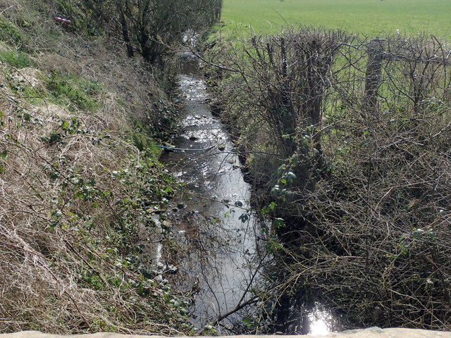
Image: © Robert Ashby Taken: 26 Mar 2017
Slackwater Burn near Finvoy. One of many little watercourses which drain this area. They all end up in the nearby Lower Bann and eventually the Atlantic Ocean. Looking NNW.
Images are licensed for reuse under creativecommons.org/licenses/by-sa/2.0
Image Location
Latitude
55.024048
Longitude
-6.52473