7stanes National Cycle Route
Introduction
The photograph on this page of 7stanes National Cycle Route by Billy McCrorie as part of the Geograph project.
The Geograph project started in 2005 with the aim of publishing, organising and preserving representative images for every square kilometre of Great Britain, Ireland and the Isle of Man.

There are currently over 7.5m images from over 14,400 individuals and you can help contribute to the project by visiting https://www.geograph.org.uk
7stanes National Cycle Route
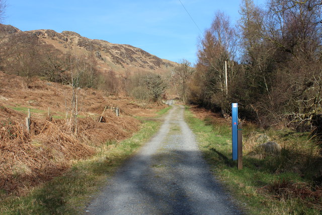
Image: © Billy McCrorie Taken: 27 Mar 2017
With marker post, also green marker post for the Loch Trool Circular.
Images are licensed for reuse under creativecommons.org/licenses/by-sa/2.0
Image Location
Latitude
55.092827
Longitude
-4.480077