National Cycle Route 466, near Tallistown
Introduction
The photograph on this page of National Cycle Route 466, near Tallistown by M J Roscoe as part of the Geograph project.
The Geograph project started in 2005 with the aim of publishing, organising and preserving representative images for every square kilometre of Great Britain, Ireland and the Isle of Man.

There are currently over 7.5m images from over 14,400 individuals and you can help contribute to the project by visiting https://www.geograph.org.uk
National Cycle Route 466, near Tallistown
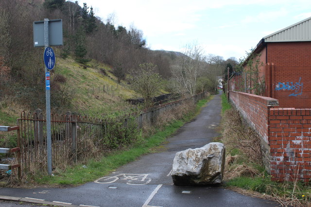
Image: © M J Roscoe Taken: 28 Mar 2017
NCR 466 to Ebbw Vale alongside the River Ebbw Image at the back of industrial units on the site of a former school.
Images are licensed for reuse under creativecommons.org/licenses/by-sa/2.0
Image Location
Latitude
51.733744
Longitude
-3.178527