Development site, The Street
Introduction
The photograph on this page of Development site, The Street by Oast House Archive as part of the Geograph project.
The Geograph project started in 2005 with the aim of publishing, organising and preserving representative images for every square kilometre of Great Britain, Ireland and the Isle of Man.

There are currently over 7.5m images from over 14,400 individuals and you can help contribute to the project by visiting https://www.geograph.org.uk
Development site, The Street
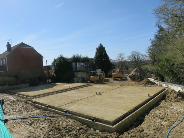
Image: © Oast House Archive Taken: 26 Mar 2017
Four semi detached houses under construction, with a further three terrace houses to the back of the site. All to be accessed off Eaton Walk.
Images are licensed for reuse under creativecommons.org/licenses/by-sa/2.0
Image Location


Leaflet Map data © OpenStreetMap
Latitude
50.936872
Longitude
0.531144