Lane past Cranbrook Farm
Introduction
The photograph on this page of Lane past Cranbrook Farm by Derek Harper as part of the Geograph project.
The Geograph project started in 2005 with the aim of publishing, organising and preserving representative images for every square kilometre of Great Britain, Ireland and the Isle of Man.

There are currently over 7.5m images from over 14,400 individuals and you can help contribute to the project by visiting https://www.geograph.org.uk
Lane past Cranbrook Farm
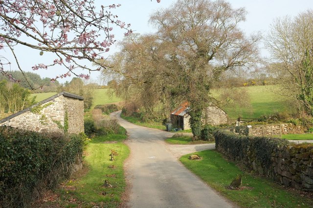
Image: © Derek Harper Taken: 27 Mar 2017
The building on the left is shown in Image, Image and Image; the barn on the right in Image Moretonhampstead Footpath 10 leaves the lane to the right of the barn.
Images are licensed for reuse under creativecommons.org/licenses/by-sa/2.0
Image Location
Latitude
50.685556
Longitude
-3.777486