Cwmbran Drive north of the Maendy Way overbridge, Cwmbran
Introduction
The photograph on this page of Cwmbran Drive north of the Maendy Way overbridge, Cwmbran by Jaggery as part of the Geograph project.
The Geograph project started in 2005 with the aim of publishing, organising and preserving representative images for every square kilometre of Great Britain, Ireland and the Isle of Man.

There are currently over 7.5m images from over 14,400 individuals and you can help contribute to the project by visiting https://www.geograph.org.uk
Cwmbran Drive north of the Maendy Way overbridge, Cwmbran
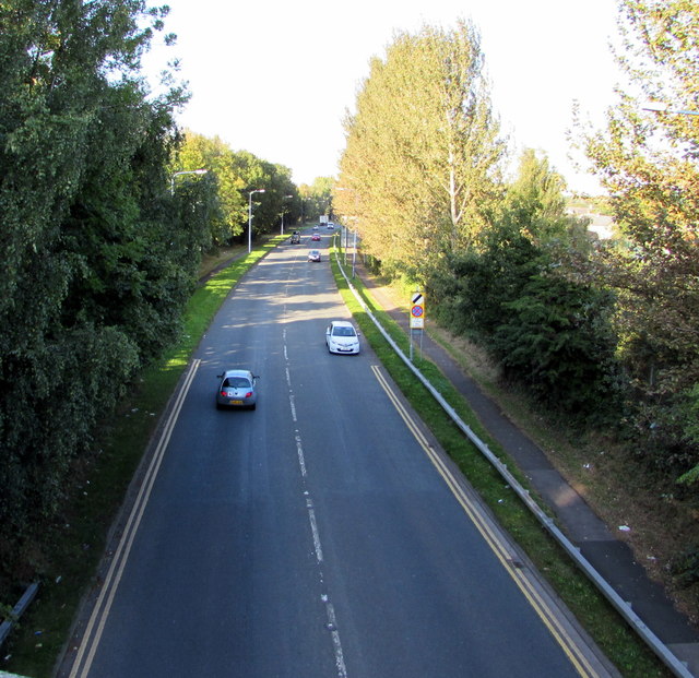
Image: © Jaggery Taken: 5 Oct 2016
The A4051 Cwmbran Drive here uses the route of the former Eastern Valley branch line railway from Newport to Blaenavon, south of the former Upper Pontnewydd station. The line closed to passenger traffic in 1962.
Images are licensed for reuse under creativecommons.org/licenses/by-sa/2.0
Image Location
Latitude
51.658121
Longitude
-3.025635