Stream beside the Potteries Loop Line
Introduction
The photograph on this page of Stream beside the Potteries Loop Line by Stephen McKay as part of the Geograph project.
The Geograph project started in 2005 with the aim of publishing, organising and preserving representative images for every square kilometre of Great Britain, Ireland and the Isle of Man.

There are currently over 7.5m images from over 14,400 individuals and you can help contribute to the project by visiting https://www.geograph.org.uk
Stream beside the Potteries Loop Line
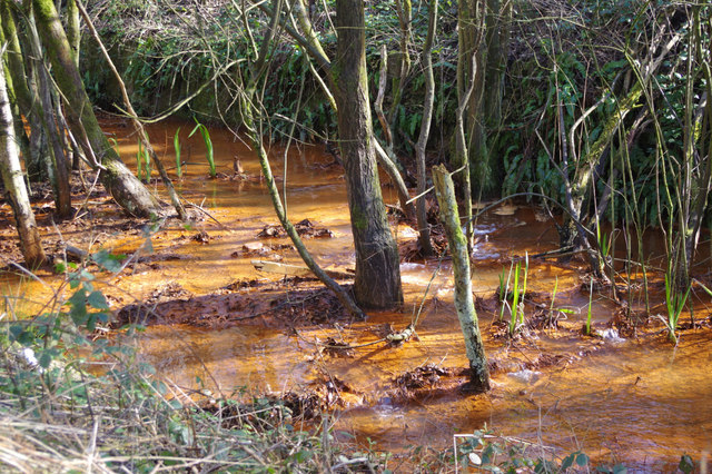
Image: © Stephen McKay Taken: 24 Mar 2017
This stream (not named on the map) follows the old route of the Potteries Loop Line - now the Scotia Valley Greenway, a path and cycleway - for some distance east of Kidsgrove. Its colour looks alarming, but this is caused by ironstone leeching, a phenomenon that also affects the Trent & Mersey Canal in the area.
Images are licensed for reuse under creativecommons.org/licenses/by-sa/2.0
Image Location
Latitude
53.086064
Longitude
-2.224508