To farm and church
Introduction
The photograph on this page of To farm and church by Michael Dibb as part of the Geograph project.
The Geograph project started in 2005 with the aim of publishing, organising and preserving representative images for every square kilometre of Great Britain, Ireland and the Isle of Man.

There are currently over 7.5m images from over 14,400 individuals and you can help contribute to the project by visiting https://www.geograph.org.uk
To farm and church
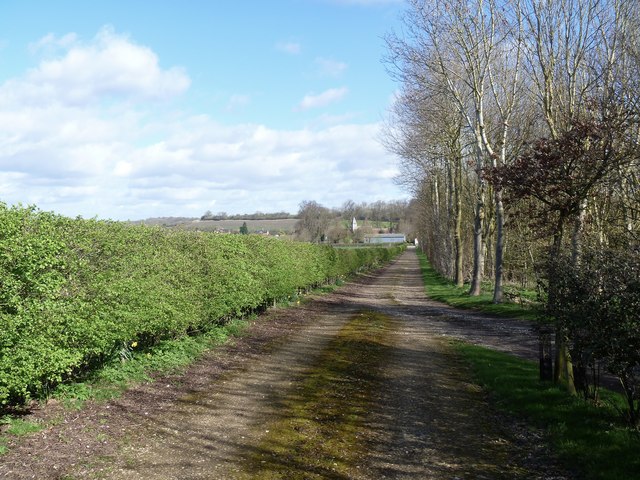
Image: © Michael Dibb Taken: 21 Mar 2017
From the minor road that runs between Wimpstone and Crimstone, this track leads to Church Cottage Farm. The track also allows permissive vehicular access to St Mary's Church. The church is isolated, the village is once served, Whitchurch, was a medieval village deserted by the mid 16th century. The church has a late 11th century nave and is listed, grade II*, with details at: https://www.historicengland.org.uk/listing/the-list/list-entry/1382684
Images are licensed for reuse under creativecommons.org/licenses/by-sa/2.0
Image Location
Latitude
52.133893
Longitude
-1.671089