Access to the Potteries Loop
Introduction
The photograph on this page of Access to the Potteries Loop by Stephen McKay as part of the Geograph project.
The Geograph project started in 2005 with the aim of publishing, organising and preserving representative images for every square kilometre of Great Britain, Ireland and the Isle of Man.

There are currently over 7.5m images from over 14,400 individuals and you can help contribute to the project by visiting https://www.geograph.org.uk
Access to the Potteries Loop
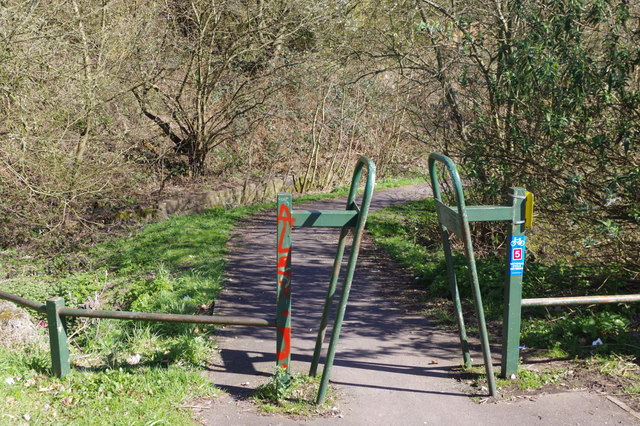
Image: © Stephen McKay Taken: 24 Mar 2017
This chicane gives walkers and cyclist access to the route of the Potteries Loop railway - long since closed and now a footpath and cycleway. It is also known as the Scotia Valley Greenway but there is no indication of that here. It is,however, part of Sustrans route 5 which is shown.
Images are licensed for reuse under creativecommons.org/licenses/by-sa/2.0
Image Location
Latitude
53.085593
Longitude
-2.235852