Approaching the cross-roads at Ffair Rhos
Introduction
The photograph on this page of Approaching the cross-roads at Ffair Rhos by Jeremy Bolwell as part of the Geograph project.
The Geograph project started in 2005 with the aim of publishing, organising and preserving representative images for every square kilometre of Great Britain, Ireland and the Isle of Man.

There are currently over 7.5m images from over 14,400 individuals and you can help contribute to the project by visiting https://www.geograph.org.uk
Approaching the cross-roads at Ffair Rhos
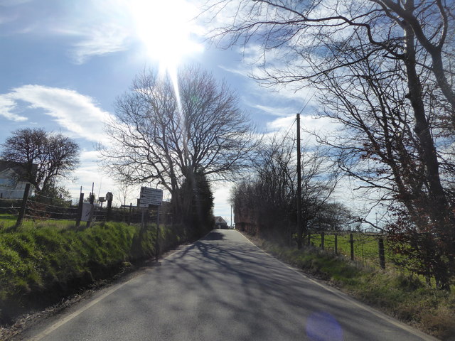
Image: © Jeremy Bolwell Taken: 25 Mar 2017
Teifi Lakes to the left (roughly north) and Ystrad Meurig to the right (roughly south west). I'm going straight on, towards Pontrhydfendigaid.
Images are licensed for reuse under creativecommons.org/licenses/by-sa/2.0
Image Location
Latitude
52.295881
Longitude
-3.850502