At the top of Bridge End, Rastrick
Introduction
The photograph on this page of At the top of Bridge End, Rastrick by Humphrey Bolton as part of the Geograph project.
The Geograph project started in 2005 with the aim of publishing, organising and preserving representative images for every square kilometre of Great Britain, Ireland and the Isle of Man.

There are currently over 7.5m images from over 14,400 individuals and you can help contribute to the project by visiting https://www.geograph.org.uk
At the top of Bridge End, Rastrick
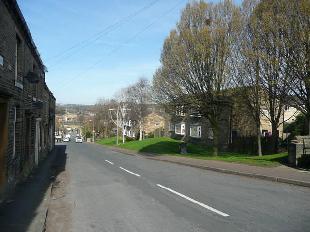
Image: © Humphrey Bolton Taken: 26 Mar 2017
The council houses replaced the houses shown on the 1:500 plan of 1889.
Images are licensed for reuse under creativecommons.org/licenses/by-sa/2.0
Image Location
Latitude
53.696856
Longitude
-1.784141