West along the B4233 towards Hendre, Monmouthshire
Introduction
The photograph on this page of West along the B4233 towards Hendre, Monmouthshire by Jaggery as part of the Geograph project.
The Geograph project started in 2005 with the aim of publishing, organising and preserving representative images for every square kilometre of Great Britain, Ireland and the Isle of Man.

There are currently over 7.5m images from over 14,400 individuals and you can help contribute to the project by visiting https://www.geograph.org.uk
West along the B4233 towards Hendre, Monmouthshire
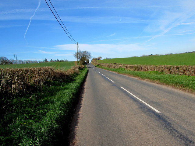
Image: © Jaggery Taken: 26 Mar 2017
Extending for 23km (c14 miles) from Monmouth to Abergavenny, the B4233 is a rural B-road in Monmouthshire.
Images are licensed for reuse under creativecommons.org/licenses/by-sa/2.0
Image Location
Latitude
51.825332
Longitude
-2.770423