Pendrells, Nep Town Road, Nep Town, Henfield
Introduction
The photograph on this page of Pendrells, Nep Town Road, Nep Town, Henfield by Simon Carey as part of the Geograph project.
The Geograph project started in 2005 with the aim of publishing, organising and preserving representative images for every square kilometre of Great Britain, Ireland and the Isle of Man.

There are currently over 7.5m images from over 14,400 individuals and you can help contribute to the project by visiting https://www.geograph.org.uk
Pendrells, Nep Town Road, Nep Town, Henfield
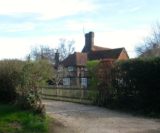
Image: © Simon Carey Taken: 25 Mar 2017
Viewed from the entrance in Blackgate Lane. The house dates from the late 17th century.
Images are licensed for reuse under creativecommons.org/licenses/by-sa/2.0
Image Location
Latitude
50.927746
Longitude
-0.275806