Iver - Old Slade Lane
Introduction
The photograph on this page of Iver - Old Slade Lane by James Emmans as part of the Geograph project.
The Geograph project started in 2005 with the aim of publishing, organising and preserving representative images for every square kilometre of Great Britain, Ireland and the Isle of Man.

There are currently over 7.5m images from over 14,400 individuals and you can help contribute to the project by visiting https://www.geograph.org.uk
Iver - Old Slade Lane
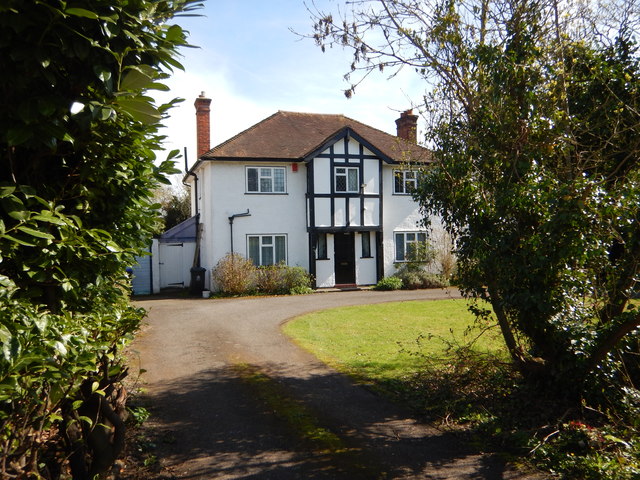
Image: © James Emmans Taken: 25 Mar 2017
One of the few original houses left in the street, most of the houses have been completely redeveloped.
Images are licensed for reuse under creativecommons.org/licenses/by-sa/2.0
Image Location
Latitude
51.499382
Longitude
-0.509473