Footpaths and subways in Redditch
Introduction
The photograph on this page of Footpaths and subways in Redditch by Bill Boaden as part of the Geograph project.
The Geograph project started in 2005 with the aim of publishing, organising and preserving representative images for every square kilometre of Great Britain, Ireland and the Isle of Man.

There are currently over 7.5m images from over 14,400 individuals and you can help contribute to the project by visiting https://www.geograph.org.uk
Footpaths and subways in Redditch
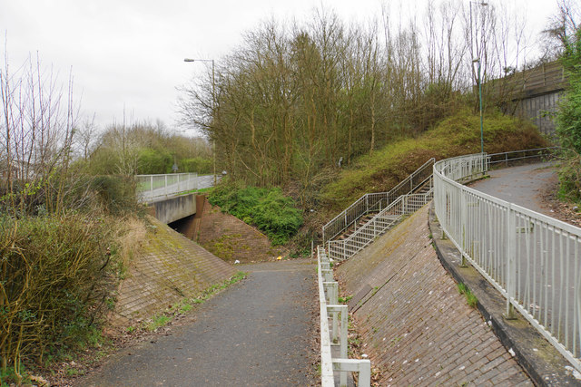
Image: © Bill Boaden Taken: 17 Mar 2017
The Alvechurch Highway runs high to the right while Holloway Drive runs to the left.
Images are licensed for reuse under creativecommons.org/licenses/by-sa/2.0
Image Location
Latitude
52.306135
Longitude
-1.927357