Building site, Godinton Way
Introduction
The photograph on this page of Building site, Godinton Way by John Baker as part of the Geograph project.
The Geograph project started in 2005 with the aim of publishing, organising and preserving representative images for every square kilometre of Great Britain, Ireland and the Isle of Man.

There are currently over 7.5m images from over 14,400 individuals and you can help contribute to the project by visiting https://www.geograph.org.uk
Building site, Godinton Way
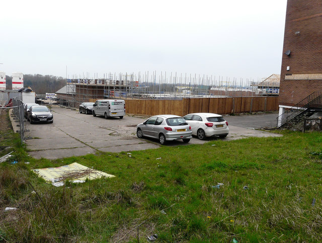
Image: © John Baker Taken: 12 Mar 2017
Seen from Godinton Road, planning permission was granted by Ashford Borough Council under application number 14/01305/AS for the “erection of 83 new dwellings with associated access, parking & open space”. The houses are being built on the former Godinton Way Industrial Estate.
Images are licensed for reuse under creativecommons.org/licenses/by-sa/2.0
Image Location
Latitude
51.147938
Longitude
0.867137