Eyemouth Harbour at High Tide
Introduction
The photograph on this page of Eyemouth Harbour at High Tide by cathietinn as part of the Geograph project.
The Geograph project started in 2005 with the aim of publishing, organising and preserving representative images for every square kilometre of Great Britain, Ireland and the Isle of Man.

There are currently over 7.5m images from over 14,400 individuals and you can help contribute to the project by visiting https://www.geograph.org.uk
Eyemouth Harbour at High Tide
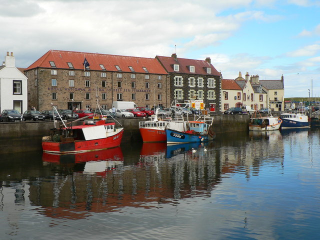
Image: © cathietinn Taken: 10 Aug 2007
On 14th October 1881 most of the fishing fleet, some 20 boats and 129 men from the town were lost in a terrible storm. Including victims from other coastal towns, a total of 189 men lost their lives. This is commemorated in the Tapestry housed in the Museum.
Images are licensed for reuse under creativecommons.org/licenses/by-sa/2.0
Image Location
Latitude
55.871207
Longitude
-2.088186