Cattle grid
Introduction
The photograph on this page of Cattle grid by Jonathan Wilkins as part of the Geograph project.
The Geograph project started in 2005 with the aim of publishing, organising and preserving representative images for every square kilometre of Great Britain, Ireland and the Isle of Man.

There are currently over 7.5m images from over 14,400 individuals and you can help contribute to the project by visiting https://www.geograph.org.uk
Cattle grid
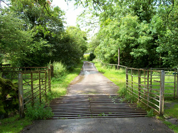
Image: © Jonathan Wilkins Taken: 25 Jul 2007
At the foot of the common the unclassified road to Gwynfe levels out and crosses this cattle grid near to Cwm Llwyd.
Images are licensed for reuse under creativecommons.org/licenses/by-sa/2.0
Image Location
Latitude
51.864337
Longitude
-3.880808