Bluewater House
Introduction
The photograph on this page of Bluewater House by Derek Harper as part of the Geograph project.
The Geograph project started in 2005 with the aim of publishing, organising and preserving representative images for every square kilometre of Great Britain, Ireland and the Isle of Man.

There are currently over 7.5m images from over 14,400 individuals and you can help contribute to the project by visiting https://www.geograph.org.uk
Bluewater House
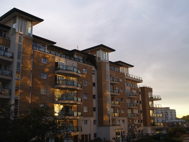
Image: © Derek Harper Taken: 3 Aug 2007
One of the four parallel blocks of flats at Riverside West, dating from about 2001. The evening sun is being reflected from windows on Compass House, from which the photo was taken.
Images are licensed for reuse under creativecommons.org/licenses/by-sa/2.0
Image Location


Leaflet Map data © OpenStreetMap
Latitude
51.463054
Longitude
-0.190061