"C" road, Holywood (March 2017)
Introduction
The photograph on this page of "C" road, Holywood (March 2017) by Albert Bridge as part of the Geograph project.
The Geograph project started in 2005 with the aim of publishing, organising and preserving representative images for every square kilometre of Great Britain, Ireland and the Isle of Man.

There are currently over 7.5m images from over 14,400 individuals and you can help contribute to the project by visiting https://www.geograph.org.uk
"C" road, Holywood (March 2017)
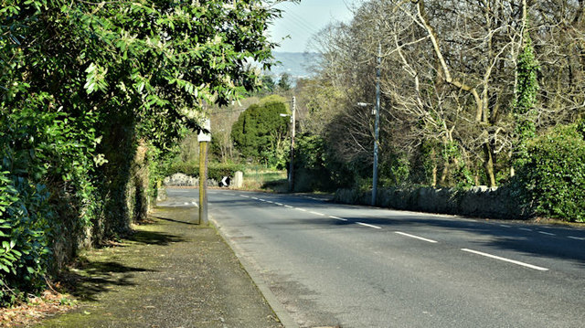
Image: © Albert Bridge Taken: 24 Mar 2017
Not generally known but the Church Road, Holywood Image and Image is classified as a “C” road. This view is inward at Glenlyon. The following is a quotation from the official “Traffic Watch” website “High Street, Holywood - Closures 7pm to 6am - 20 to 24 March [2017] High Street, Holywood (B198) will be closed to through traffic, from its junction with C303 Church Road to U8106 Downshire Road junction, to enable resurfacing works from 7pm each evening to 6am the following morning on Monday 20th, Tuesday 21st, Wednesday 22nd and Thursday 23rd March 2017 (works being completed by 6am Friday 24th March)”. See also Image
Images are licensed for reuse under creativecommons.org/licenses/by-sa/2.0
Image Location
Latitude
54.638247
Longitude
-5.824983