Up Chard Street towards Axminster Hospital
Introduction
The photograph on this page of Up Chard Street towards Axminster Hospital by Jaggery as part of the Geograph project.
The Geograph project started in 2005 with the aim of publishing, organising and preserving representative images for every square kilometre of Great Britain, Ireland and the Isle of Man.

There are currently over 7.5m images from over 14,400 individuals and you can help contribute to the project by visiting https://www.geograph.org.uk
Up Chard Street towards Axminster Hospital
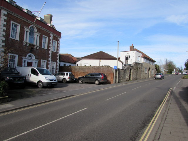
Image: © Jaggery Taken: 9 Mar 2017
The A358 Chard Street ascends away from the town centre towards the entrance http://www.geograph.org.uk/photo/5321068 to Axminster Hospital. Grade II (star) listed Oak House http://www.geograph.org.uk/photo/5321749 is on the left.
Images are licensed for reuse under creativecommons.org/licenses/by-sa/2.0
Image Location
Latitude
50.783619
Longitude
-2.995596