Applegirth Estate Forestry Office
Introduction
The photograph on this page of Applegirth Estate Forestry Office by Richard Webb as part of the Geograph project.
The Geograph project started in 2005 with the aim of publishing, organising and preserving representative images for every square kilometre of Great Britain, Ireland and the Isle of Man.

There are currently over 7.5m images from over 14,400 individuals and you can help contribute to the project by visiting https://www.geograph.org.uk
Applegirth Estate Forestry Office
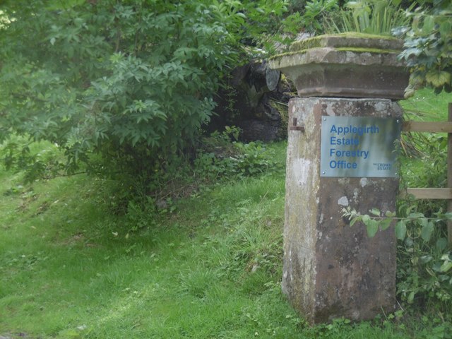
Image: © Richard Webb Taken: 27 Jul 2016
Crown Estate plaque at an old gate. This was the entrance to the policies of Dryfeholm, a long lost big house, mapped as a ruin on 1950s Ordnance Survey maps.
Images are licensed for reuse under creativecommons.org/licenses/by-sa/2.0
Image Location
Latitude
55.136807
Longitude
-3.392903