Valley between the Ardaragh Road and Glenhorne Road
Introduction
The photograph on this page of Valley between the Ardaragh Road and Glenhorne Road by Eric Jones as part of the Geograph project.
The Geograph project started in 2005 with the aim of publishing, organising and preserving representative images for every square kilometre of Great Britain, Ireland and the Isle of Man.

There are currently over 7.5m images from over 14,400 individuals and you can help contribute to the project by visiting https://www.geograph.org.uk
Valley between the Ardaragh Road and Glenhorne Road
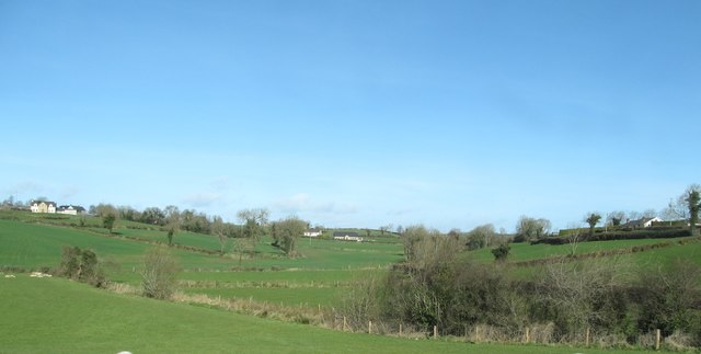
Image: © Eric Jones Taken: 14 Mar 2017
The two road running northwards from the A25 (Newry Road) run along dry-site drumlin ridges. The stream occupying the valley is one of the headwaters of the Clanrye River.
Images are licensed for reuse under creativecommons.org/licenses/by-sa/2.0
Image Location
Latitude
54.234813
Longitude
-6.225886