Footpath alongside the railway embankment
Introduction
The photograph on this page of Footpath alongside the railway embankment by Marathon as part of the Geograph project.
The Geograph project started in 2005 with the aim of publishing, organising and preserving representative images for every square kilometre of Great Britain, Ireland and the Isle of Man.

There are currently over 7.5m images from over 14,400 individuals and you can help contribute to the project by visiting https://www.geograph.org.uk
Footpath alongside the railway embankment
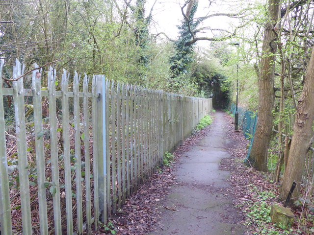
Image: © Marathon Taken: 22 Mar 2017
This path, with the railway embankment on the left, provides a short cut from Beech Avenue, Cypress Avenue, Golf Ride, Ash Ride and Rosewood Drive to Cattlegate Road and Crews Hill station. For more information about the railway see http://www.geograph.org.uk/photo/5321509
Images are licensed for reuse under creativecommons.org/licenses/by-sa/2.0
Image Location


Leaflet Map data © OpenStreetMap
Latitude
51.681304
Longitude
-0.10485