Slipper Road, Hermitage
Introduction
The photograph on this page of Slipper Road, Hermitage by Hamish Griffin as part of the Geograph project.
The Geograph project started in 2005 with the aim of publishing, organising and preserving representative images for every square kilometre of Great Britain, Ireland and the Isle of Man.

There are currently over 7.5m images from over 14,400 individuals and you can help contribute to the project by visiting https://www.geograph.org.uk
Slipper Road, Hermitage
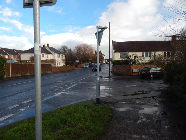
Image: © Hamish Griffin Taken: 29 Jan 2015
Odd name, a dead-end road off the A259.
Images are licensed for reuse under creativecommons.org/licenses/by-sa/2.0
Image Location
Latitude
50.846285
Longitude
-0.931093