West Road(NW) bus stop and shelter, Nottage, Porthcawl
Introduction
The photograph on this page of West Road(NW) bus stop and shelter, Nottage, Porthcawl by Jaggery as part of the Geograph project.
The Geograph project started in 2005 with the aim of publishing, organising and preserving representative images for every square kilometre of Great Britain, Ireland and the Isle of Man.

There are currently over 7.5m images from over 14,400 individuals and you can help contribute to the project by visiting https://www.geograph.org.uk
West Road(NW) bus stop and shelter, Nottage, Porthcawl
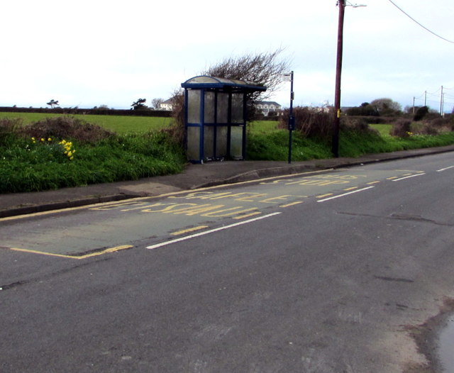
Image: © Jaggery Taken: 16 Mar 2017
This stop near the Cae Canol junction http://www.geograph.org.uk/photo/5319986 is for buses on route 63B to Bridgend via North Cornelly and Pyle. In March 2017, buses on this route are operated by First Cymru.
Images are licensed for reuse under creativecommons.org/licenses/by-sa/2.0
Image Location
Latitude
51.496498
Longitude
-3.71421