The sad fate of the direction sign at the junction of Carrickananny and Carrickgallogly roads
Introduction
The photograph on this page of The sad fate of the direction sign at the junction of Carrickananny and Carrickgallogly roads by Eric Jones as part of the Geograph project.
The Geograph project started in 2005 with the aim of publishing, organising and preserving representative images for every square kilometre of Great Britain, Ireland and the Isle of Man.

There are currently over 7.5m images from over 14,400 individuals and you can help contribute to the project by visiting https://www.geograph.org.uk
The sad fate of the direction sign at the junction of Carrickananny and Carrickgallogly roads
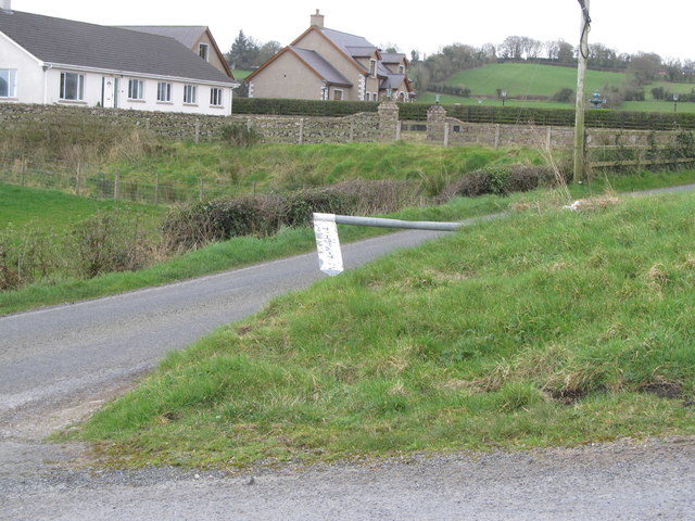
Image: © Eric Jones Taken: 14 Mar 2017
This sign was pretty meaningless anyway - Armagh being at least 16 miles from this point. Image]
Images are licensed for reuse under creativecommons.org/licenses/by-sa/2.0
Image Location
Latitude
54.191981
Longitude
-6.484358