ffordes Photographic Balblair
Introduction
The photograph on this page of ffordes Photographic Balblair by valenta as part of the Geograph project.
The Geograph project started in 2005 with the aim of publishing, organising and preserving representative images for every square kilometre of Great Britain, Ireland and the Isle of Man.

There are currently over 7.5m images from over 14,400 individuals and you can help contribute to the project by visiting https://www.geograph.org.uk
ffordes Photographic Balblair
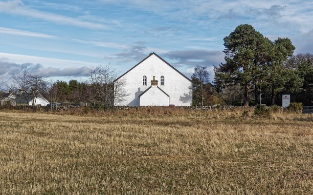
Image: © valenta Taken: 18 Mar 2017
Side on view of the former Balblair free church, now the home of ffordes Photographic. The building thought to date from circa 1845 is grade "C" listed http://www.britishlistedbuildings.co.uk/200338930-balblair-free-church-kilmorack#.WNKFZmekJaQ
Images are licensed for reuse under creativecommons.org/licenses/by-sa/2.0
Image Location
Latitude
57.470837
Longitude
-4.488794