St Barnabas, Warmley
Introduction
The photograph on this page of St Barnabas, Warmley by Neil Owen as part of the Geograph project.
The Geograph project started in 2005 with the aim of publishing, organising and preserving representative images for every square kilometre of Great Britain, Ireland and the Isle of Man.

There are currently over 7.5m images from over 14,400 individuals and you can help contribute to the project by visiting https://www.geograph.org.uk
St Barnabas, Warmley
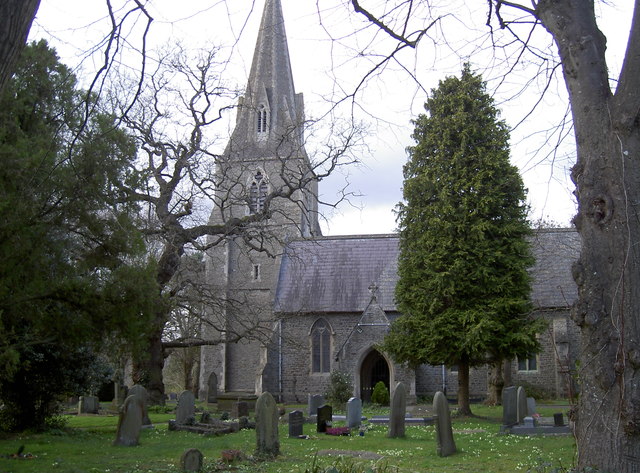
Image: © Neil Owen Taken: 21 Mar 2017
The church has served many of the old railway industry, and coal and ore mining area in the nineteenth century.
Images are licensed for reuse under creativecommons.org/licenses/by-sa/2.0
Image Location


Leaflet Map data © OpenStreetMap
Latitude
51.456923
Longitude
-2.470446